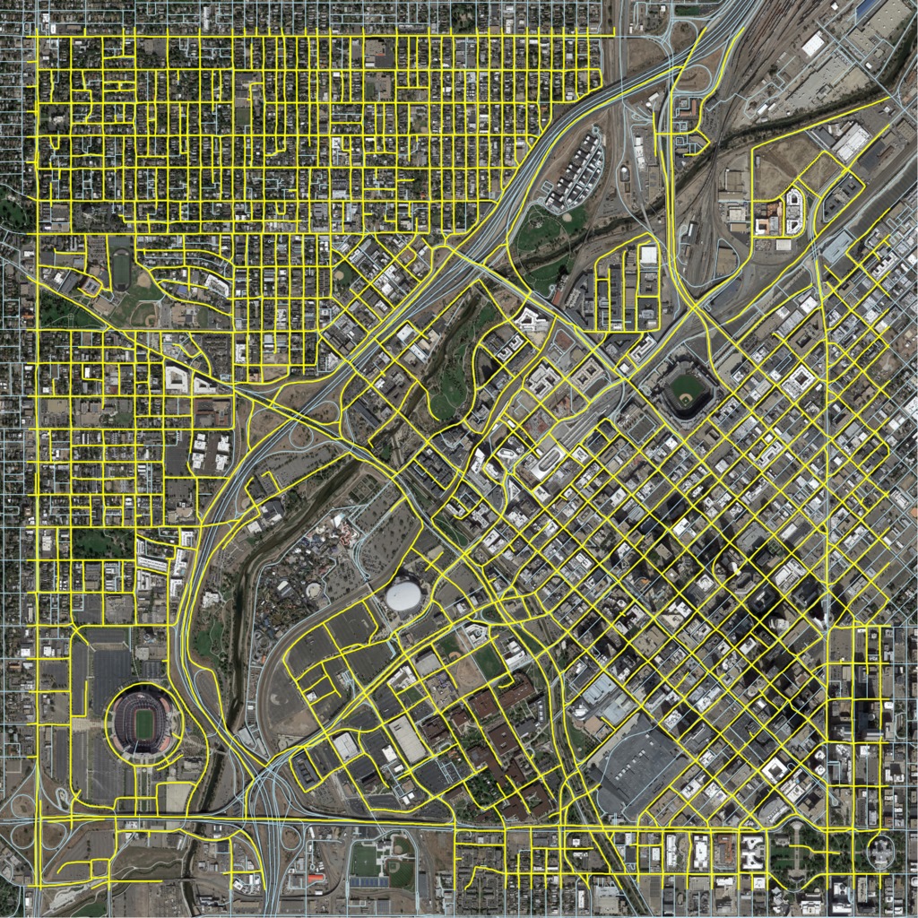
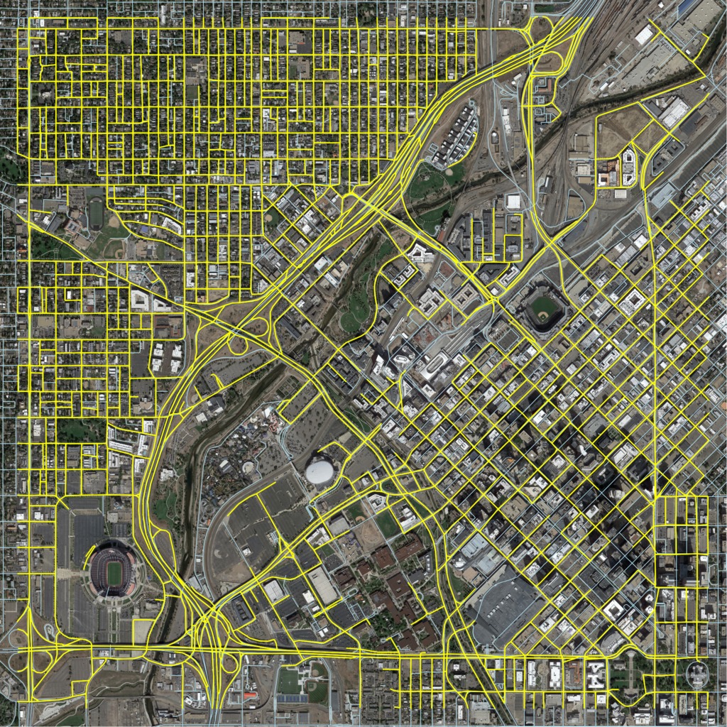
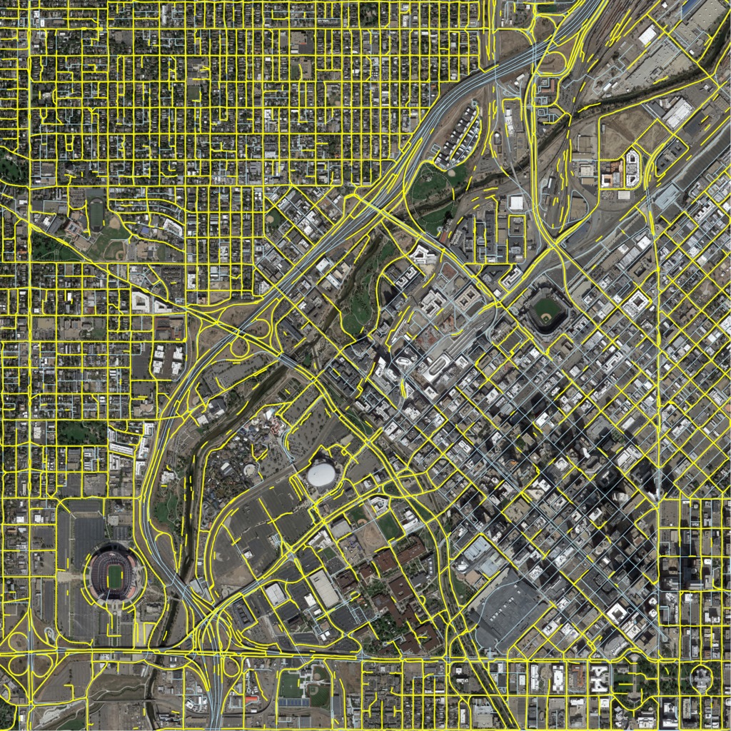
We overlay the inferred map (yellow) on top of the ground truth map from OpenStreetMap (blue). The satellite imagery is in the background. You can click the images to get high-resolution versions.
Denver: RoadTracer

Denver: Segmentation (ours)

Denver: DeepRoadMapper
